After last week-end’s trip kayaking in Stockholm’s archipelago, I went back with my orienteering club, Centrum OK to Fjärdlång, a “small sheepy island in the south part of the archipelago. A nice boat trip from Dalarö.
That week-end was not about kayaking, but about running, sport that I’m definitely better that rawing… It was time for the middle and long distance club championship. The map was brand new, based on laser data (nice technology, btw. Sweden has been completely mapped by planes, and you can buy raw data, and convert it almost instantly to an Ocad map), and enhanced by two club mates.
About the map: The map is available here with my GPS track for the long distance. You can see the shaded areas where it is only laser data, and the ones, around the controls that have been manually reshaped. It looks like you can even get the green areas out of the raw data. Good stuff!
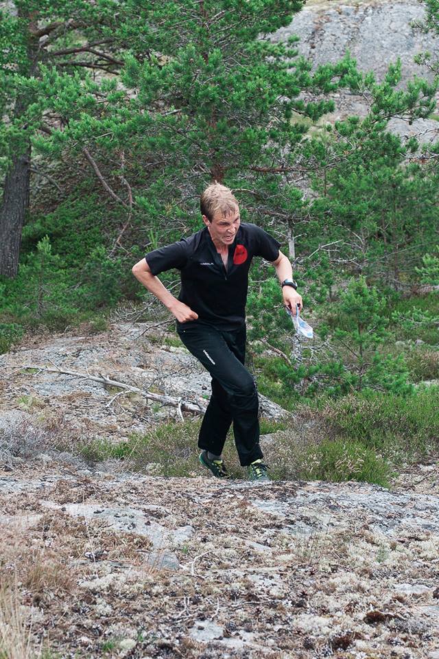
I spent a really nice week-end. The competitions were hard and demanding, but I really liked them (I won both Long and Middle distances in H21). I did quite a good middle distance race, loosing only a couple of seconds on two controls, with a good feeling. The long distance went a bit worse, with some compass navigation issues… Really have to work that out! But the map was very pleasant to read for long route choice because of the lack of details, thus easing the point selection.
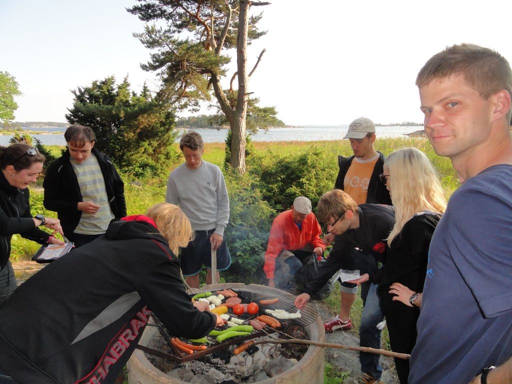
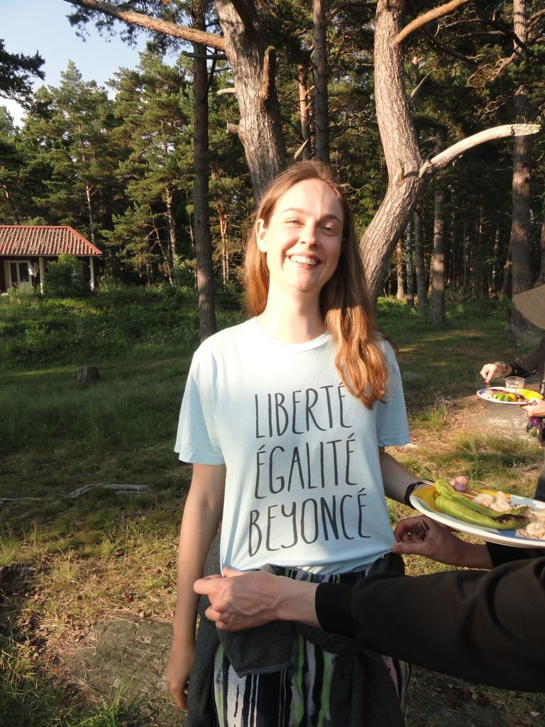
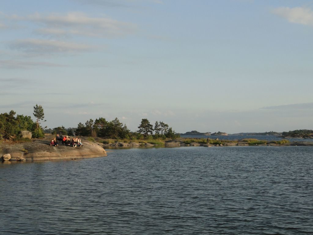
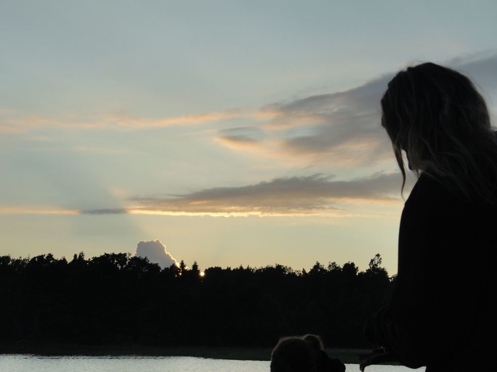
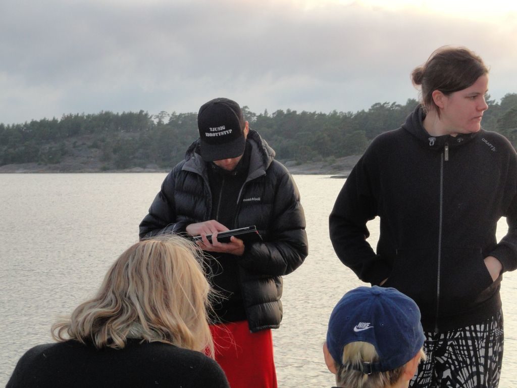
The pictures tell the remains of the story better than words…